Categories: Hikes
Author
Camp Fife
Share
Categories: Hikes

Author

Camp Fife

Share

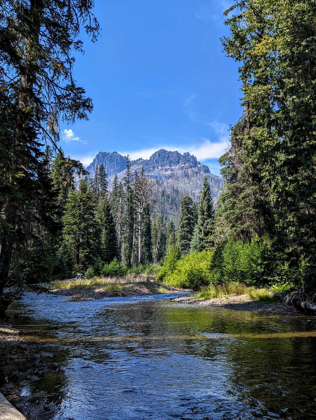
The Pleasant Valley Loop Trail is a moderately challenging trail located in the William O. Douglas Wilderness area. It offers varying loop lengths and generally follows the American River.  The Pleasant Valley Loop forms a long thin oval around Highway 410, just east of Mount Rainier. Although this trail never ventures too far from the Highway, hikers will get a wilderness experience nonetheless.

The portion of the trail south of the highway is more scenic, following along the American River and falling within the William O. Douglas Wilderness. On the north side of the highway, the trail trends closer to the road, and has a few connections along dirt roads. Most of the loop travels through forest that burned in 2017, which can lead to blowdowns over the trail.

With a couple highway crossings, and several turns and junctions, this is not the most glamourous loop through the woods, but it offers an all-purpose trail that can be chunked up into mostly flat options for hikers who want to plan their own route as well as connections and extensions to other trails in the area.

  • Trail Distance: 11.5 miles roundtrip

  • Difficulty: Moderate

  • Starting Point: Goat Peak Trailhead, near Hell’s Canyon Campground on Hwy 410

  • Distance from Camp Fife: 13.3 miles.  From camp, turn left onto Bumping River Rd/NF-1800. At 8.4 miles, turn left onto WA-410 W.  In 4.9 miles the Goat Peak Trailhead will be on the right, the most common access point for the Pleasant Valley Loop.

  • Parking Pass/Entry Fee: Northwest Forest Pass

  • Established Campsites: Yes

  • More Information: Washington Trails Association

View of American River on the Pleasant Valley Loop

Leave A Comment